
Top 5 Editorial Picks
Five current picks chosen for distinct deep drop needs — from a sonar-first 7-inch unit to a premium expandable system and our top electric reel. These are editorial selections, not ratings.
As an Amazon Associate, we earn from qualifying purchases.
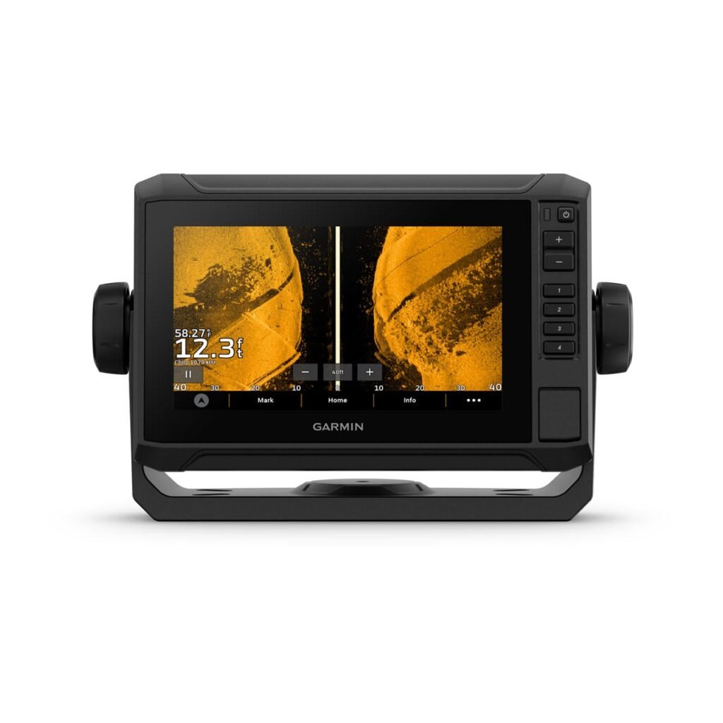
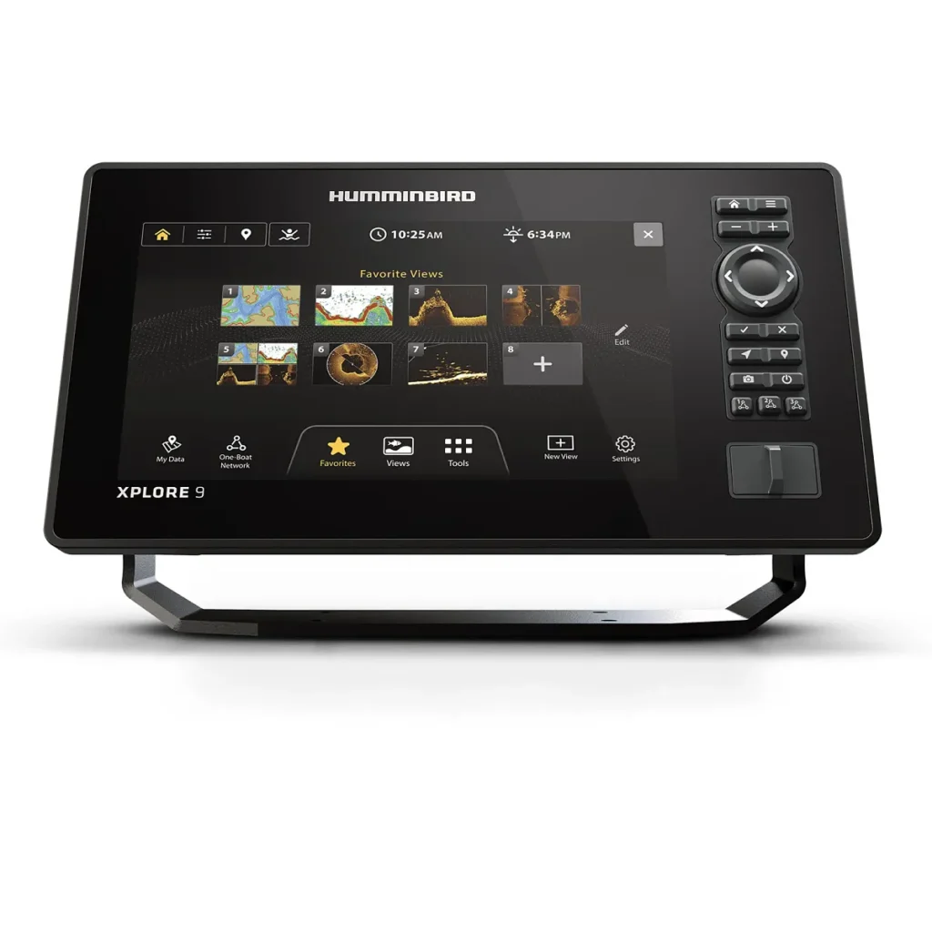
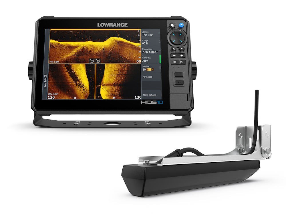
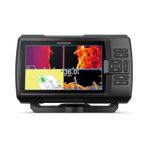
Garmin GPSMAP 1243xsv Review: A 12-Inch Helm Hub With Real Deep-Water Power
DeepDropFishing.com is reader-supported. When you buy through links on our site, we may earn a commission at no extra cost to you. This review is based on the manufacturer’s published specifications.

Quick Answer
The Garmin GPSMAP 1243xsv is a 12.1-inch touchscreen chartplotter/fish finder with built-in Ultra High-Definition SideVü and ClearVü scanning sonar, 1 kW traditional and 1 kW CHIRP transmit power, and preloaded Garmin Navionics+ charts for the U.S. and Canada. Garmin states a maximum depth of 5,000 ft at 1 kW — with its own caveat that depth capacity depends on water bottom type and other water conditions — which puts this unit in a completely different class from compact sounders: on paper, it covers the full deep drop depth range with room to spare. The catch is in the box: the standard U.S. configuration includes no transducer, so the sonar you actually get depends on the transducer you buy and fit.
Who the GPSMAP 1243xsv Is For
This is a helm-centre unit for a serious offshore or big-water center console, not a first fish finder. Garmin builds the GPSMAP X3 series to sit at the middle of a networked boat — two Garmin Marine Network ports, NMEA 2000 and NMEA 0183, radar support, live sonar support — and the 1243xsv is the 12-inch sonar version of that idea, with the sounder built in rather than in a separate black box.
For our readers, the framing is the mirror image of the small-unit reviews on this site: the question here is not whether the 1243xsv can reach deep drop depths — Garmin’s published figures say it can — but whether your boat, your transducer budget and your helm space justify a networked 12-inch system. If you are building one screen to run charts, deep-water sonar, radar and engine data together, this is the class of unit you are shopping for. Our Deep Drop Fishing Electronics Setup guide shows how a unit like this fits into a complete deep drop helm.
Key Specs
| Spec | Garmin GPSMAP 1243xsv |
|---|---|
| Display | 10.3″ x 6.4″; 12.1″ diagonal, WXGA IPS touchscreen, 1280 x 800 pixels |
| Sonar | Traditional CHIRP, Ultra High-Definition ClearVü and SideVü scanning sonar (built-in) |
| Transmit power | 1 kW traditional; 1 kW CHIRP |
| Frequencies supported | Traditional: 50/70/83/200 kHz; CHIRP (low, medium, high); ClearVü/SideVü (260/455/800/1000/1200 kHz) — dependent on transducer |
| Max depth (manufacturer stated) | 5,000 ft at 1kW (depth capacity is dependent on water bottom type and other water conditions) |
| Live sonar | Panoptix and LiveScope support (transducer required, sold separately) |
| Transducer | Not included (U.S. GN+ configuration); 1 x 12-pin sonar port, 8-pin to 12-pin adapter cable included |
| GPS / charts | 10 Hz high-sensitivity receiver; Garmin Navionics+ coastal and inland water charts for the U.S. and Canada preloaded; Garmin Navionics Vision+ supported |
| Storage | 5,000 waypoints, 100 routes, 50,000 track points / 50 saved tracks |
| Card slots | 2 x microSD (back of unit), 32 GB max. card size |
| Networking | 2 x Garmin Marine Network ports, NMEA 2000, NMEA 0183 (1 in / 1 out), Garmin radar compatible, AIS support, Wi-Fi (ActiveCaptain) |
| Power | Input voltage 10 to 32 Vdc; max power usage 43.0 W at 10 Vdc (sonar model); 6 A fuse |
| Physical | 12.1″ x 8.9″ x 3.2″ (30.8 x 22.8 x 8.2 cm); 6.6 lbs. (3.0 kg) |
| Water rating | IPX7 |
| Mounting | Bail, flush or flat |
The Display and Interface: 12 Inches of Working Space
The screen is the reason this model exists. At 10.3″ x 6.4″ (12.1″ diagonal) with 1280 x 800 pixels on an IPS panel, there is room to run a chart, a traditional sonar page and a scanning-sonar or radar view side by side without any one of them becoming useless — the working layout an offshore helm actually needs. Garmin lists polarized support, and positions the upgraded IPS optics as sunlight-readable, which matters on an open console at midday.
It is touchscreen-only territory: there is no keypad fallback, so the interface lives and dies by the glass. The unit is also physically substantial — 12.1″ x 8.9″ x 3.2″ and 6.6 lbs. — with bail, flush or flat mounting options, though Garmin notes it offers no hardware for a flat-mount installation. Measure your console before you fall for the screen size; Garmin’s manual also specifies a 45 cm (17.72 in.) compass-safe distance for the 12-inch model.
Sonar: 1 kW CHIRP Plus Ultra High-Definition Scanning
The xsv suffix is the sonar package. Built in, you get traditional CHIRP sonar plus what Garmin calls Ultra High-Definition SideVü™ and ClearVü™ scanning sonars, with vivid, high-contrast color palettes intended to help distinguish fish from structure. Transmit power is 1 kW traditional; 1 kW CHIRP — the power class deep-water fishing actually requires — and Garmin’s manual puts ClearVü and SideVü CHIRP transmit power at 500 W.
Frequencies, exactly as Garmin states them: Traditional: 50/70/83/200 kHz; CHIRP (low, medium, high); ClearVü/SideVü (260/455/800/1000/1200 kHz), all dependent on the transducer fitted. The manual’s sonar specifications add the underlying detail: single-channel CHIRP from 40 to 250 kHz, Ultra High-Definition ClearVü at 0.8 MHz (800 kHz) and Ultra High-Definition SideVü at 1.2 MHz (1,200 kHz). In plain terms, the low CHIRP bands and the 50 kHz traditional frequency are the deep-water tools; the high-frequency scanning sonar is for detailed structure work in shallower water.
The unit also supports live sonar: per Garmin, you can pair it with Panoptix™ or LiveScope™ live sonar (transducer required, sold separately) to see around the boat in real time. Useful as that is inshore, it is not the deep drop story — the deep story is the 1 kW traditional side and the transducer you hang under the hull. Our Best Transducer for Deep Drop Fishing guide explains why that choice matters more than any menu setting.
Charts and Networking: Built to Be the Boat’s Hub
The current U.S. configuration (part number 010-02367-61) comes preloaded with Garmin Navionics+ coastal and inland water charts for the U.S. and Canada, with Auto Guidance+™ technology — Garmin is explicit that Auto Guidance+ is for planning purposes only and does not replace safe navigation. Optional Garmin Navionics Vision+™ premium map content is supported, Garmin’s series material includes a 1-year subscription to daily chart updates via the ActiveCaptain app, and the unit stores 5,000 waypoints, 100 routes and a 50,000-point track log across two microSD card slots.
Networking is where this unit separates itself from standalone sounders like the Garmin ECHOMAP UHD2 73sv or the Garmin STRIKER Vivid 7sv:
- 2 Garmin Marine Network™ ports — share sonar, radar, charts and live-sonar devices across a multi-display Garmin helm.
- NMEA 2000 and NMEA 0183 (one input port, one output port) for engines, instruments and older electronics.
- Garmin radar compatible — Garmin bundles this chartplotter with the compact 4 kW GMR™ 18 HD3 dome radar as a factory package (part number 010-02367-53), and radar is fully networkable.
- AIS support and built-in Wi-Fi for the ActiveCaptain app.
If none of that will ever be connected, you are paying for a hub you won’t use. If it will, this is the correct centre for it — compare the approach in our Humminbird XPLORE 9 review for the other ecosystem’s take on a networked helm.
Deep-Water Use: What Garmin’s Own Figures Say
This is the section that matters most on this site, so let’s work only with Garmin’s published numbers. Garmin states a maximum depth of 5,000 ft at 1kW, and immediately qualifies it: depth capacity is dependent on water bottom type and other water conditions. Its manual repeats the figure for sonar models: sonar depth 5,000 ft. at 1 kW. Transmit power is 1 kW traditional and 1 kW CHIRP, and the supported frequencies include the low end deep water needs — 50 kHz traditional and low CHIRP (the manual’s single-channel CHIRP range runs from 40 to 250 kHz).
Deep drop fishing for tilefish, snowy grouper, queen snapper and swordfish is typically worked from about 300 ft down past 1,500 ft. Against Garmin’s stated 5,000 ft ceiling, that entire range sits comfortably inside the unit’s published capability — on paper, this is a genuine deep drop sounder, and it anchors the top end of our Best Fish Finder for Deep Drop Fishing guide for exactly that reason.
Three honest qualifications, all from Garmin’s own wording. First, 5,000 ft is a maximum under favourable conditions, not a working guarantee — Garmin says so itself. Second, the figures are dependent on transducer: the 1 kW rating only becomes real depth performance with a transducer that can use it, and the U.S. box includes none, so transducer selection is not an accessory decision here, it is the decision. Third, the high-frequency scanning sonar (ClearVü/SideVü at 260/455/800/1000/1200 kHz and the Ultra High-Definition modes) is shallow-water detail equipment; nobody deep drops on 800 kHz, and Garmin publishes no separate deep figure for it. The deep verdict rests on the traditional/CHIRP side alone — and on that side, Garmin’s published specs support it.
What’s in the Box / What You Still Need
Per Garmin’s listing for the chartplotter, the box contains: the GPSMAP 1243xsv chartplotter, a microSD™ card preinstalled, power cable, NMEA 2000® T-connector, NMEA 2000 drop cable (2 meters), 8-pin transducer to 12-pin sounder adapter cable, bail mount kit with knobs, flush mount kit with gasket, protective cover, trim-piece snap covers and documentation. The radar bundle (010-02367-53) additionally includes the GMR 18 HD3 dome radar with its power and network cables, mounting hardware kit and template, and installation instructions.
What you still need, in general terms:
- A transducer — this is not optional. No transducer is included in the standard U.S. configuration, and there is no sonar picture without one. For deep drop use, budget for a transducer that matches the unit’s 1 kW CHIRP capability and your hull (transom, thru-hull or in-hull).
- A fused 10–32 Vdc supply run — Garmin’s manual specifies a 6 A, 125 V fast-acting fuse, and the sonar model draws up to 43.0 W.
- Network cabling and backbone parts beyond the included NMEA 2000 T-connector and 2 m drop cable, if you plan to network radar, a second display or engine data.
- A microSD card (up to 32 GB) if you want chart updates, premium Garmin Navionics Vision+ content or mapping storage beyond the preinstalled card.
- Live-sonar hardware (Panoptix or LiveScope transducer) if you want the live views — supported, but sold separately.
Who Should Buy / Who Should Skip
Buy the GPSMAP 1243xsv if you run an offshore or deep drop boat and want one 12-inch screen at the centre of a Garmin network, you need manufacturer-stated depth capability far beyond the deep drop range, you will actually use the radar, networking and chartplotter side of the unit, and you are prepared to spec and buy the right 1 kW-class transducer separately.
Skip the GPSMAP 1243xsv if you fish a small boat with no room or power budget for a 12-inch networked display, you want a transducer in the box and sonar working the same day, your fishing is mostly shallow inshore work (a far simpler unit covers it), or you are already committed to another brand’s electronics ecosystem — this unit’s value is as a Garmin hub.
FAQ
How deep can the Garmin GPSMAP 1243xsv read?
Garmin states a maximum depth of 5,000 ft at 1kW, and adds that depth capacity is dependent on water bottom type and other water conditions. That is the manufacturer’s published ceiling for the sonar models, with a 1 kW transducer fitted.
Does the GPSMAP 1243xsv come with a transducer?
No — not in the standard U.S. Garmin Navionics+ configuration (010-02367-61). The box includes the chartplotter, cables, NMEA 2000 T-connector and drop cable, mounting kits and an 8-pin to 12-pin transducer adapter cable, but the transducer itself is sold separately, and sonar features require one.
What sonar does the GPSMAP 1243xsv have built in?
Traditional CHIRP sonar plus Ultra High-Definition SideVü and ClearVü scanning sonars, with 1 kW traditional and 1 kW CHIRP transmit power. Frequencies supported, per Garmin: Traditional: 50/70/83/200 kHz; CHIRP (low, medium, high); ClearVü/SideVü (260/455/800/1000/1200 kHz), dependent on transducer. It also supports Panoptix and LiveScope live sonar with the appropriate transducer, sold separately.
What charts are preloaded on the GPSMAP 1243xsv?
The current U.S. configuration is preloaded with Garmin Navionics+ coastal and inland water charts for the U.S. and Canada, with Auto Guidance+ technology for route planning, and it supports optional Garmin Navionics Vision+ premium content. Note that older boxes of the same model were sold with BlueChart g3 and LakeVü g3 charts instead — check the part number on the box before buying.
Can the GPSMAP 1243xsv run radar?
Yes. It is Garmin radar compatible over its two Garmin Marine Network ports, and Garmin sells it bundled with the compact 4 kW GMR 18 HD3 dome radar as part number 010-02367-53.
Is the GPSMAP 1243xsv enough for deep drop fishing?
On Garmin’s published figures, yes — with the right transducer. Garmin’s stated maximum depth is 5,000 ft at 1 kW, well beyond the roughly 300–1,500 ft band where most deep dropping happens, and its low CHIRP and 50 kHz traditional frequencies are the deep-water tools. The honest caveats are Garmin’s own: the depth figure depends on water and bottom conditions, and performance depends on the transducer you fit, since none is included.
The Bottom Line
The GPSMAP 1243xsv is the opposite of a compromise sounder: a big IPS touchscreen, a built-in 1 kW CHIRP sounder with Ultra High-Definition scanning sonar, current Garmin Navionics+ charts and the networking to run a whole Garmin helm — with a manufacturer-stated 5,000 ft depth ceiling that covers deep dropping outright. Its real cost of entry is the transducer Garmin leaves out of the box, and its real requirement is a boat big enough to use it as the hub it was designed to be. Spec the transducer properly and, on the published figures, there is no depth in the deep drop game this unit cannot reach.